

CivilRisk IQ — Put risk in its place
Menu

Case studies

Real reviews of
real project records.

One interchange, two very different documents: a 281-page 95% PS&E plan set and a 1,032-page Administrative Draft EIR/EA. Here is what CivilRisk IQ found, how the findings were organized, and the reports each team received.

Case 01

Plan & PS&E review · State Highway System

I-215 / Keller Interchange: 95% PS&E plans

The challenge

A new interchange on I-215 in Southern California, at 95% PS&E: hundreds of sheets across roadway, drainage, structures, retaining walls, traffic handling and utilities. At this stage a missed conflict becomes an RFI, a change order or a schedule delay.

What CivilRisk IQ did

Twelve AI specialists, one per discipline, read every page in parallel. A manager pass merged duplicates and assigned likely severity; a Red Team challenged weak claims. Each retained finding links back to its sheet and PDF page, ready for engineering verification.

What the team received

  • Executive and technical findings reports
  • A findings register and structured data export
  • PDF comment files that open on the sheets in Bluebeam or Acrobat
  • Portal access so the design team can confirm, revise or dismiss each finding
Example finding

Bioswale 45: where does the low point drain?

Sheet D-5 shows FL 1566.96 at I 311+90, rising to FL 1567.73 at the end of the swale, with no collection point identified in the compared sheets.

Walk through this finding step by step →

Inside the run

1,212 candidates in. 474 findings out. Every one traceable.

Each specialist read the full 281-page set through its own discipline. The manager then merged candidates that described the same issue, set aside weak ones and kept the rest, with the reason recorded for every decision.

  1. 1,212raw candidates from 12 specialists
  2. 656merged into a stronger duplicate
  3. 58deprioritized
  4. 24rejected
  5. 474retained findings: 96 High severity, 357 Medium, 21 Low

Retained findings by specialist

Four High findings, as the design team received them

Real findings from this run, shown with the plan sheet each one cites. Clouds and call-outs mark where the finding points; every one is a question for the engineer of record, not a confirmed defect.

Sheet DP-8 · Drainage profiles · source PDF p. 92
Design QA specialistReview pass: profiles, grades and vertical geometry
High

Ten-foot internal drop at a Keller Road drainage inlet

Location
Drainage System 16 · Type G0 inlet, KEL 307+92.45, 34.58 ft LT
Merged in
3 related candidates

Observation. Drainage System 16 shows an 18-inch pipe entering the Type G0 drainage inlet at approximately invert 1558.25 and an 18-inch pipe leaving the same inlet at invert 1548.00. The inlet is labeled H = 14.2 ft, but no internal drop arrangement is identified.

Why it matters. An approximately 10.25-ft drop within a grated inlet may require a special structure or connection detail; leaving it unresolved could cause fabrication, hydraulic and field-installation problems.

Recommended next check. Confirm both pipe inverts and their entry points against the drainage plan and inlet detail; determine how the internal drop is intended to be constructed.

What the specialist flagged as uncertain. The profile establishes the apparent invert difference, but a separate detail may address the drop.

Sheet D-8 · Drainage plan · source PDF p. 83 · compared with utility sheet U-8
Surveyor / Utilities Coordinator specialistCompared drainage sheet D-8 with utility sheet U-8
High

High-pressure gas beside the proposed 42-inch Keller drain

Location
Drainage System 10, west of Warner Lane
Sheets compared
D-8 and U-8

Observation. U-8 shows both 8-inch high-pressure and 8-inch plastic SCG gas lines along Keller Road west of Warner Lane. D-8 places the proposed 42-inch RCP of Drainage System 10 along this same south-side road corridor toward Warner Lane; neither plan gives a separation or trench-support condition for the parallel work.

Why it matters. A large storm-drain trench could encroach on the gas-line support zone and constrain construction or require SCG-approved protection.

Recommended next check. Measure common-station offsets, verify both gas-line depths, and compare the proposed RCP trench and shoring envelope with SCG clearance requirements.

What the specialist flagged as uncertain. The apparent parallel proximity does not establish a physical intersection; offsets and excavation limits need confirmation.

Sheet PS-10 · Keller Road profile · source PDF p. 36 · compared with the bridge General Plan
Structures specialistReview pass: structural geometry and load path
High

Water-line proximity to new bridge foundations is unresolved

Location
Keller Road UC abutments and retaining walls 307 / 308
Sheets compared
PS-9, PS-10 and bridge General Plan

Observation. PS-9 and PS-10 depict water lines along the Keller Road profile through the bridge area, including 12-inch and 24-inch lines on PS-10. The bridge General Plan shows 24-inch CIDH piles at both widening abutments and retaining walls 307 and 308 alongside the undercrossing. These views do not establish the utilities’ horizontal offsets from the proposed foundations.

Why it matters. A close utility-to-pile or wall-footing relationship could constrain foundation location, excavation, construction methods, or utility protection and relocation.

Recommended next check. Overlay utility plan locations and verified elevations with the CIDH pile and retaining-wall foundation footprints, including construction excavation envelopes.

What the specialist flagged as uncertain. The profiles alone do not show a clash; horizontal separation may resolve the concern.

Sheet DP-4 · Drainage profiles · source PDF p. 88
Design QA specialistReview pass: profiles, grades and vertical geometry
High

Storm-drain clearance relies on an assumed SCE ductbank depth

Location
Drainage System 10, K2 alignment
Merged in
5 related candidates from other passes

Observation. The Drainage System 10 profile calls out an SCE ductbank with an assumed 42-inch depth in the area of the proposed storm-drain alignment. The profile does not establish a verified ductbank envelope or dimensioned clearance to the proposed pipework.

Why it matters. A deeper or larger existing ductbank could conflict with the storm drain and require utility protection, relocation, or a drainage-profile change during construction.

Recommended next check. Locate the ductbank crossing on the drainage and electrical plans, confirm surveyed or pothole elevations and ductbank dimensions, and calculate clearance to each proposed storm pipe at that location.

What the specialist flagged as uncertain. A conflict is not established; the concern is that the depicted clearance depends on an explicitly assumed utility depth.

Case 02

Environmental document & technical studies · CEQA/NEPA

I-215 / Keller Interchange: Administrative Draft EIR/EA

The challenge

A joint CEQA/NEPA document in eight volumes, with its technical studies, before public circulation. A full quality review of a document this size is a major staff effort, and gaps found after circulation cost far more to fix.

What CivilRisk IQ did

Nine environmental specialists screened every volume, from project description and alternatives to biology, cultural resources, air, noise, water quality and hazardous materials. A Document QA specialist checked cross-references and tables; an Environmental Red Team pressure-tested conclusions the way a commenter would. Scanned pages were read with automatic OCR.

What the team received

  • Findings tied to volume, page, section and resource area
  • Likely severity with the reason for each finding
  • Reviewer-style comments, each with a note and a recommendation
  • A complete list of every raw candidate, nothing hidden

Environmental findings are decided by the agency's authorized decision-maker, not by CivilRisk IQ.

Inside the run

1,036 retained comments, clouded on the document itself.

After culling, the manager kept 1,036 comments: 122 High severity, 740 Medium and 174 Low. 1,026 of them are placed as clouds around the cited text in the EIR/EA PDF, so a reviewer opens the comment file in Adobe Acrobat and works page by page, the way a Caltrans environmental reviewer already does.

Retained comments by specialist (clouded at the cited text)

Two High findings, with the pages they cite

Each comment quotes the text it is about and names the page to compare it with. These are questions for the document team and the agency's environmental reviewer, not determinations.

Summary p. vii (PDF p. 7) compared with Chapter 1, p. 1-1 (PDF p. 34)
Project Description, Purpose & Need and Alternatives specialistAlso raised independently by Document QA and the Environmental Red Team
High

Antelope Road closure conflicts with the programmed realignment

Cited text
S.4 Proposed Action, p. vii
Compare with
FTIP description, p. 1-1

Observation. The proposed action describes removing the Antelope Road segment between Brians Way and Mapleton Avenue and ending it in cul-de-sacs. The FTIP description reproduced in Chapter 1 instead describes realigning Antelope Road approximately one-quarter mile east. The supplied pages do not reconcile these different roadway treatments.

Why it matters. The difference could change the defined roadway footprint, local access assumptions, and the project description used in transportation programming.

Recommended next check. Compare the current roadway plans and FTIP/RTP project entries; identify whether the realignment was replaced by the proposed closures and update or explain the differing descriptions.

Three specialists, one question. The Document QA specialist found the same conflict against the Chapter 2 FTIP statement (p. 2-238), and the Red Team found it again in the RTP/SCS quotation (p. 1-3). The manager kept them together so the document team answers it once.

Summary p. viii (PDF p. 8) compared with Table S-1, p. xxi (PDF p. 21)
Environmental Document QA specialistKeller EIR/EA review
High

GHG baseline year differs within the Summary: 2008 or 2024?

Cited text
S.4, p. viii
Compare with
Table S-1, CEQA Climate Change, p. xxi

Observation. Section S.4 describes significant and unavoidable GHG increases relative to a 2008 baseline, while Table S-1 identifies the existing/baseline year as 2024. The comparison year for the GHG conclusion is unclear.

Why it matters. Readers cannot tell which baseline supports the reported GHG impact and alternative comparison.

Recommended next check. Compare the GHG analysis and its baseline definition with both summary statements; correct the year or explain distinct comparisons.

Case 03

Plan review · bridge and approaches

Glen Helen Parkway: plan review candidates

The challenge

A new bridge over Cajon Wash with MSE-wall approaches, staged traffic handling and drainage that crosses a levee. The 100% plans (August 2024) run 102 sheets, with 348 pages of Special Provisions alongside.

What CivilRisk IQ did

Twelve specialists reviewed the plans against the Special Provisions. The manager merged 179 overlapping candidates and set aside 24, keeping 147 for evidence work. Below the ground line, the specialists traced storm-drain diameters, utility crossings, MSE reinforcement schedules and the levee-crossing casing from sheet to sheet.

Plan-review candidates are reconciled with RFIs, change orders and as-builts before anyone describes a present-day field condition.

Below the ground line: two drainage findings

Shown with the sheets they cite. On D-04 the plans themselves flag bracketed elevations as approximate and require potholing, which is exactly why a tight crossing deserves a check before construction.

Sheet D-04 · Line C profile · drainage improvement plan
Hydraulics / Drainage specialistGlen Helen 12-specialist review
Retained

About 8 inches between an electrical box and the 24-inch storm drain

Location
Line C, Sta. 40+89.40
Callouts
BOT box 2006.37 · TOP 24" SD 2005.70

Observation. The D-04 Line C profile calls out the bottom of a 1.0-by-1.5-foot concrete electrical box at elevation 2006.37 and the top of the 24-inch storm drain at elevation 2005.70 near station 40+89.40. The indicated vertical separation is approximately 0.67 foot (8 inches).

Why it matters. That separation may be insufficient for utility-owner clearance requirements or for constructing and protecting the pipe and box without conflict.

Recommended next check. Verify the crossing elevations and whether the callouts represent outside surfaces; compare the resulting clearance with the electrical utility’s requirements and the proposed construction details.

Sheet D-05 · Line D plan and profile
Hydraulics / Drainage specialistGlen Helen 12-specialist review
Retained

Line D pipe diameter differs between plan and profile: 12-inch or 24-inch?

Location
Line D, Sta. 50+00.00 to 55+19.31
Compare with
GN-01 drainage note 89

Observation. On D-05, the Line D plan appears to label the pipe beginning at station 50+00.00 and ending near station 55+19.31 as 12-inch RCP. The Line D profile labels the constructed runs along that alignment as 24-inch RCP (2000-D). GN-01 drainage construction note 89 also calls for 24-inch RCP per plan and profile.

Why it matters. The diameter determines hydraulic capacity, connections, structures, excavation, and pipe quantities; the plan and profile could direct different installations.

Recommended next check. Enlarge the two plan-end callouts and trace their leaders to confirm they refer to Line D, then reconcile the diameter against the profile, GN-01 note 89, and the connecting structures.

A second discipline, a different angle. The Cost / Quantity specialist reached the same callouts from the quantities side: GN-01 lists 24-, 36- and 54-inch RCP construction notes, but none for 12-inch RCP, so the work could be missed or measured under the wrong item.

What each team receives

Twelve report formats from one review.

The same findings, packaged for each audience: engineers, managers, boards, proposal teams and data systems. Tap a cover to see it full size.

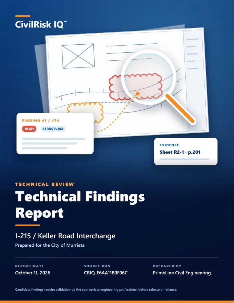
Technical Findings ReportEvery retained finding with sheet, page and evidence, for the engineers.
Executive / Management ReportThe decisions that matter, by severity, for project leadership.
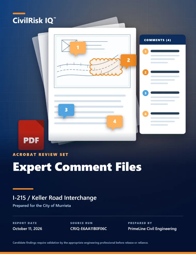
Expert Comment FilesPDF comments placed on the sheets; open them in Bluebeam or Acrobat.
Risk Register Candidate PackCandidates ready for your risk register, promoted only after human review.
Structured Findings ExportCSV, JSON and PDF data for your own systems.
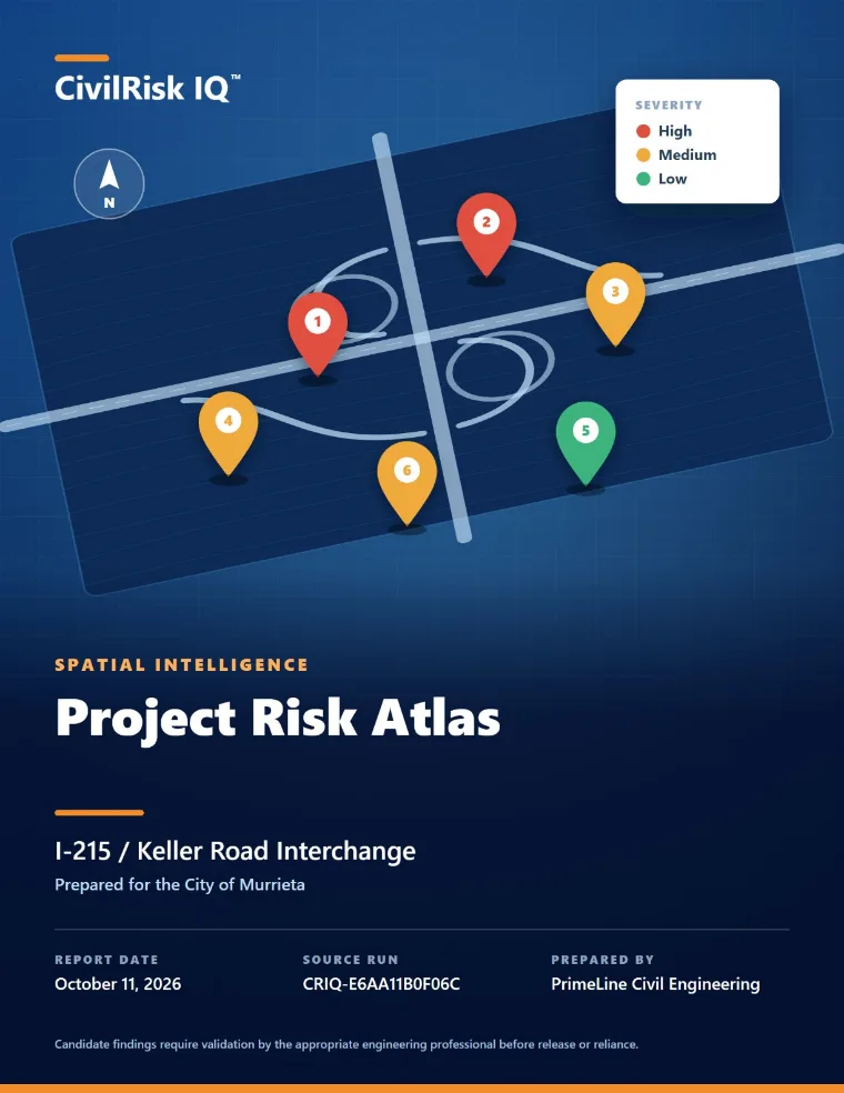
Project Risk AtlasWhere the findings are, on a map of the project.
Presentation / Interview BriefA stakeholder briefing for boards, councils and interviews.
Proposal-Ready Graphics PackFigures and visuals for pursuits and proposals.
Monthly Risk DashboardRisk trends over time for ongoing delivery.
IRI / Outcome Intelligence ReportInfrastructure Risk Index context and outcomes.
Finding / Risk Outcome GraphHow evidence, findings and decisions connect.
Project Risk Intelligence PreviewA complimentary first look at what a review would show.

Compare report formats in detail →

Not an interchange?

The same method works on any project record.

Local pavement rehab and curb-and-gutter projects, geotechnical and structures reports, technical studies, Caltrans submittals, specifications and estimates.

See everything we review →

Your project could be the next case study

Bring your next project
decision to the conversation.

Complimentary 20-minute consultation with founder Jason Bennecke. No project files needed. Meet Jason →

Authorized access, project-scoped storage, and no silent training on your documents. Security & data →

Rivet, the CivilRisk IQ mascot, waving
A few short questions. About two minutes.